Trekking in Lake of Garda
 |
 |
 |
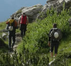
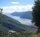
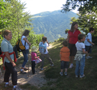
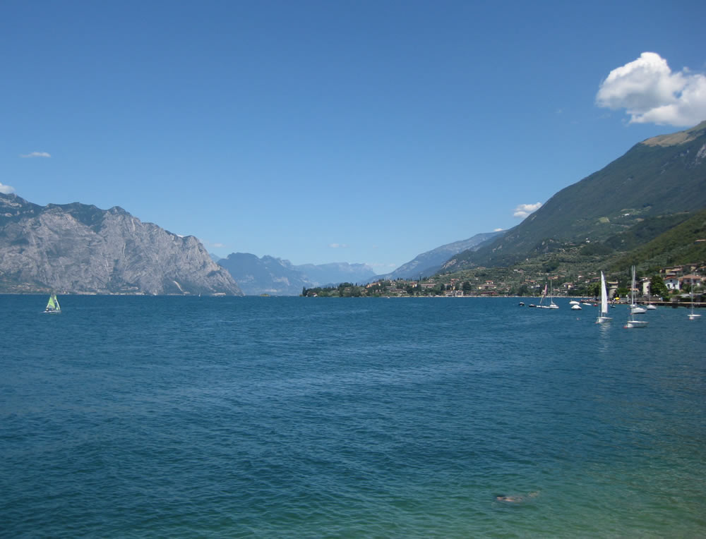
Get a suitable equipment, camera, will to walk and the Lake of Garda will give you everything else, thanks to its beautiful mountains.
Paths are often well marked and maintained. You can find detailed maps in all tourist offices, even for free, indicating the beaten track, their description, length, height differences and some level of difficulty.
(Alpine mountaineering School and Mountain Guides at Lake Garda)
Trento side of lake of Garda:
1) Do not miss the old Ponale road ![]() , unique place to enjoy the view overlooking the lake that will take you to the Ledro Valley and its lake (651m) or, alternatively, the village of Pregasina (536m). From Pregasina you can continue on the path that leads up to Limone (1150m), cutting cleanly through the mountainside overlooking the lake.
, unique place to enjoy the view overlooking the lake that will take you to the Ledro Valley and its lake (651m) or, alternatively, the village of Pregasina (536m). From Pregasina you can continue on the path that leads up to Limone (1150m), cutting cleanly through the mountainside overlooking the lake.
2) From the village of Campi (560m above Riva del Garda), which you can also reach by car, go up to the refuge Malga Grassi (1200m). You can take a break here then and being able to stop for lunch will be a pleasure for your palate. After you had some food, go back to the the path and climb up to Bocca di Trat (1581 m). Once you get to the Pernici refuge, you can admire the view of the Valle del Sarca and the other side of Ledro lake.
3) The first stop is at Tenno lake (570 m). From there you reach the medieval village of Canale (which is full of fests during the week of August), then continue to the village of Calvola and, from there, just climb up to the San Pietro refuge (1350m) that is a panoramic terrace on the North of the Lake
4) Once you are in Bolognano, take the Corno’s path and climb up to Santa Barbara (which is Velo Mountains’ top, 1110 m in height), which is a starting point to reach the Stivo Mountain’s top (2012 m). This path, with almost no trees around, is a popular destination for night excursions under full moon nights, especially in winter time, when the snow amplifies the light.
5) From Torbole you can get to the lawns of Nago by car (1720 m). You can only reach the Altissimo top (2078 m) just by walking to the Baldo mountain. The 360-degree panorama is free from any obstacle, so you can see the Alps, the glaciers of Northern Italy, the Lake, the Po Valley and the Apennines.
Brescia side of Lake of Garda:
1) Tremalzo Mountain (1974 m in height): there is a special road that has been carved into the rock during the war, which rises to serpentine by Passo Nota (1200 m) to Passo Tremalzo (1686 m), with winding galleries jumping into space . Passo Nota is also accessible by car and even before from Limone sul Garda. Who wanted to walk from Limone can also reached Passo Nota through the valley os Singol, going from Baita Bonaventura (1215 m).
2) On the border between the towns of Tremosine and Tignale we take the dirt road to San Michele (600 m) and, once we has passed the shrine, we keep going until we get to the top of the Caplone mountain (1960 m). Then we follow the path of the sentinels that leads to Valvestino’s top, which passes close to the point where the eagles nest.
3) From Gargnano to the dam of Valvesino (500 m) we reach the Molino di Bollone, then we keep going along the river until we get to Magasa and from there we climb up to the top of Rest (1265 m) where there are some restored barns and two small shelters.
4) The Valle delle Cartiere starts from Toscolano-Maderno and goes along the river until it reaches the dam of Valvestino. Hewre we find bridges and ruins of old mills that remind us of what flourishing center it was many years ago, full of life, thanks to paper’s production.
Verona side of Lake of Garda:
1) The cable car from Malcesine is a great way to quickly reach 1800 m altitude on Baldo Mountain, while it raises it also rotates for 360°, offering a unique panoramic view of the lake. Getting your feet back on the ground you can walk towards the top of Altissimo (2078 m) going North, or you can go South towards the top of Telegrafo (2200 m). In both cases, a scenic trail runs in the mountain’s ridge, which is surrounded by a green blanket full of flowers.
2) Leave from the port of Brenzone and reach Prada (1000m), where you can get to Costabella’s top by chairlift, at 1950 m in height, or alternatively you can keep going towards to San Zeno di Montagna (600 m).

Alpinguide
Alpine mountaineering School Mountain Guides Arco Lake Garda
Trekking, Rock climbing, via ferrata,
course Dolomites and around Lake Garda.
Tel: (+39) 0464 394224 - E-mail: guide@alpinguide.com


